
Key Takeaways:
- No, Google Maps alone does not provide Boat Navigation, but you can use it as a visual aid.
- Software such as SeaSeek integrates with Google Maps and suggests marine routes and distances.
Unleash the power of Google Maps to navigate your way, not just on land, but also across the vast open waters. While Google Maps, unfortunately, does not offer built-in directions for boat routes, there are still ways to harness its potential and plot your boating journey.
Today, we’ll explore how you can utilize Google Maps and other sailing tools to plan your route, discover key landmarks, and estimate distances. So, hop aboard as we set sail into the world of Google Maps for boaters.
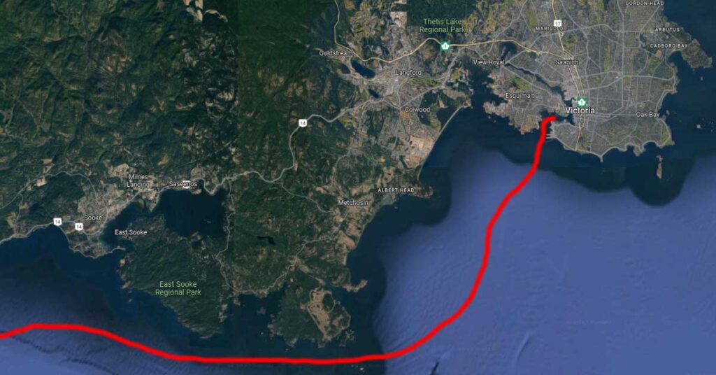
Exploring Satellite View: A Visual Delight
One of the primary uses of Google Maps for boaters is to gain a visual understanding of the area you intend to navigate. By utilizing the satellite view feature, you can easily identify lakes, rivers, and other water bodies that pique your interest.
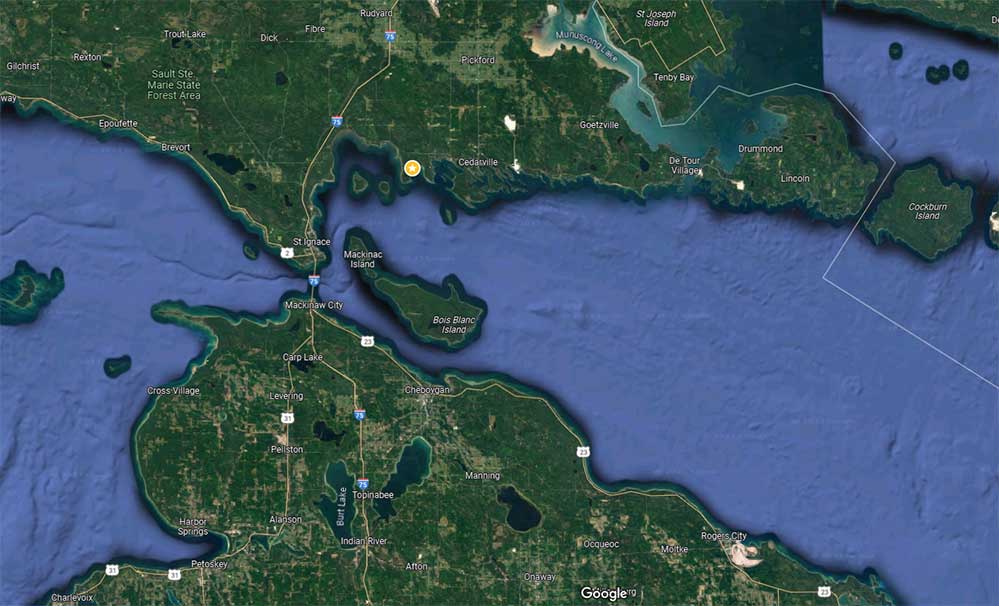
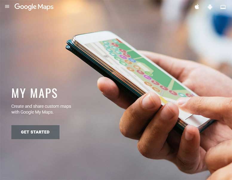
In addition, this view allows you to scout for valuable resources on land, such as docks, marinas, businesses, and parks. Armed with this knowledge, you can better plan your journey and ensure a smooth sailing experience. Also, Google’s My Maps feature enables you to sketch out a rough route directly on a Google Map, which can be conveniently printed or accessed on your smartphone or computer.
Sailing Tools: Extending Google Maps’ Reach
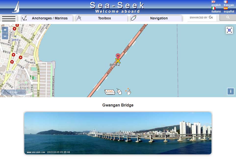
To enhance your boating experience with Google Maps, several tools have been developed specifically for sailors. One such tool is the distance calculator Sea Seek, which seamlessly integrates with Google Maps to provide you with the approximate length of a potential route or the distance between two points.
By utilizing this sailing tool, boaters can gain valuable insights and estimate travel times more accurately. Best of all, Sea Seek is very easy to use, even for the inexperienced. Plus, it’s been around for several years, which must say something about the benefits it offers.
Navigating the Limitations: Beyond Nautical Charts
While Google Maps offers a plethora of features for boaters, it is crucial to acknowledge its limitations. Traditional boating maps, known as nautical charts, encompass essential details such as water depths, navigational hazards, landmarks, and local regulations. These nautical charts are mandatory for commercial ships and are highly recommended for recreational boaters.
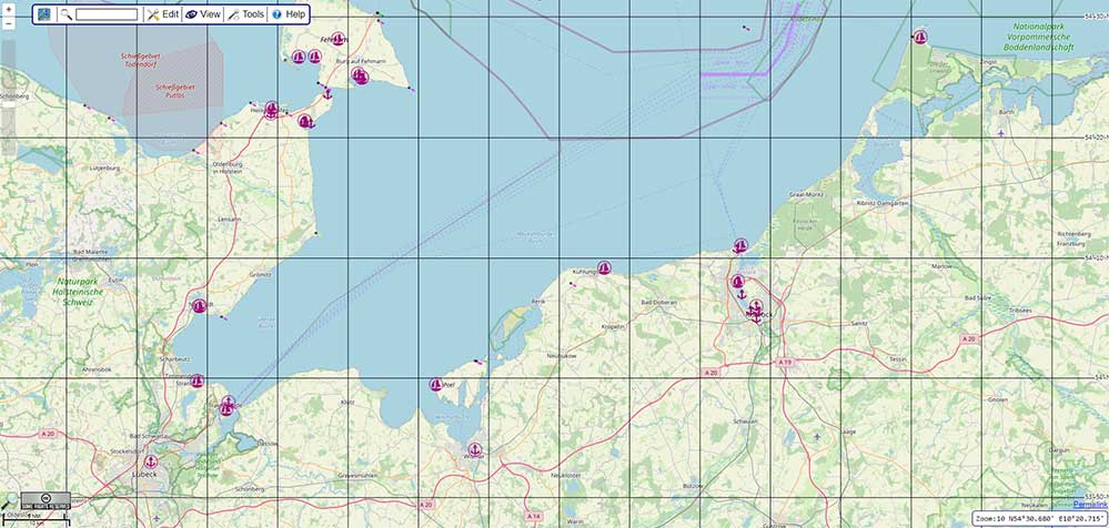
NOAA provides these charts in both traditional paper format and convenient online downloads, all at no cost to you. In addition, you can leverage the power of OpenSeaMap, a complimentary service, to access specific navigational data that will enhance your journey.
Modern technology has revolutionized boating, with nearly every vessel now outfitted with GPS devices. Most of these devices even come equipped with integrated navigational maps, simplifying your route planning.
In addition, there’s an array of smartphone applications available that cater to boating enthusiasts. These apps not only offer nautical charts but also deliver a wealth of additional information such as real-time weather updates, pinpointing prime fishing spots, and suggesting optimal boating routes.
Although Google Maps lacks this comprehensive information, it can still serve as a valuable tool when used in conjunction with official nautical charts. By harnessing the power of multiple resources, boaters can enjoy a comprehensive and safe journey.
In Conclusion
Despite the absence of built-in boat directions, Google Maps remains a versatile tool for boaters, but it does not officially offer boat navigation. But exploring the waters visually and also utilizing sailing-specific tools, there are numerous ways to leverage this app to plan your boating adventures.
However, always remember to supplement your Google Maps usage with official nautical charts to ensure a safe and enjoyable experience. So, grab your compass, chart your course, and set sail.
Meet Ry, “TechGuru,” a 36-year-old technology enthusiast with a deep passion for tech innovations. With extensive experience, he specializes in gaming hardware and software, and has expertise in gadgets, custom PCs, and audio.
Besides writing about tech and reviewing new products, he enjoys traveling, hiking, and photography. Committed to keeping up with the latest industry trends, he aims to guide readers in making informed tech decisions.