
TL;DR – Google Maps largely avoids showing the oceans due to a variety of challenges, such as the dynamic nature of water bodies, lighting issues, and the high costs associated with mapping large, fluid areas. Additionally, the return on investment for mapping the oceans is considered low, given the lack of monetization opportunities.
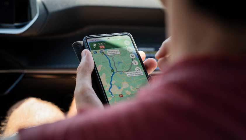
Navigating the digital landscape of Google Maps is, for the most part, a breeze. From the urban jungle of Manhattan to the remote tranquility of the Scottish Highlands, Google Maps seemingly has it all. But upon closer inspection, it appears that something’s amiss – namely, the oceanic void.
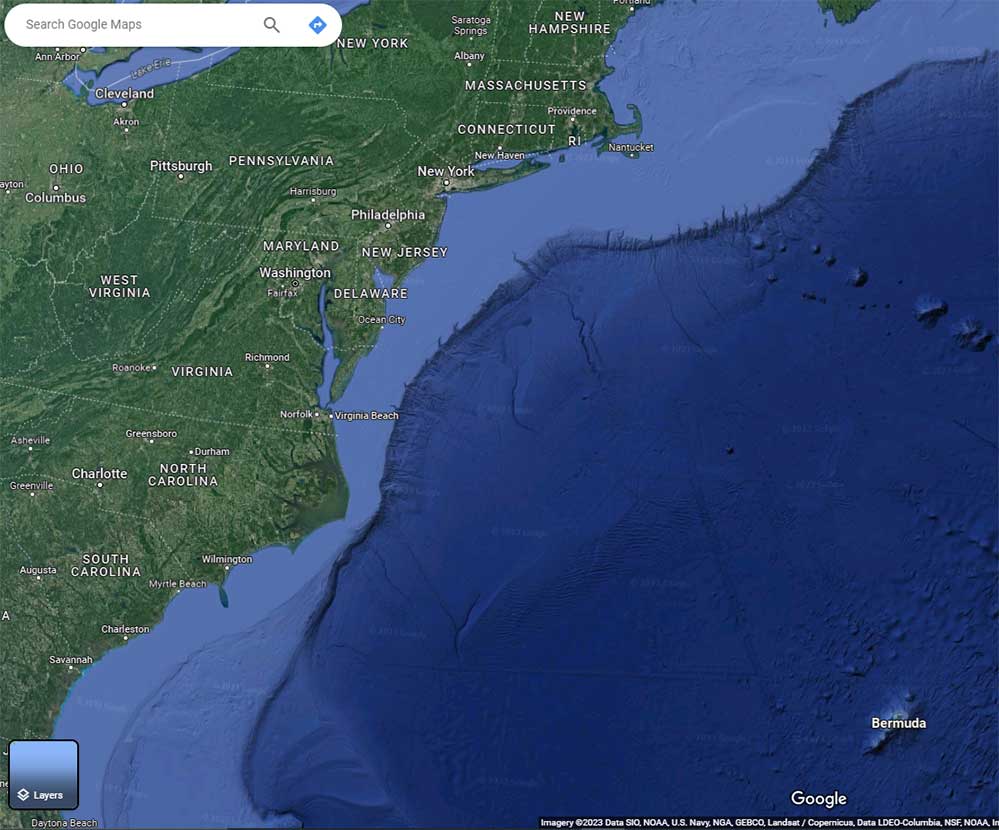
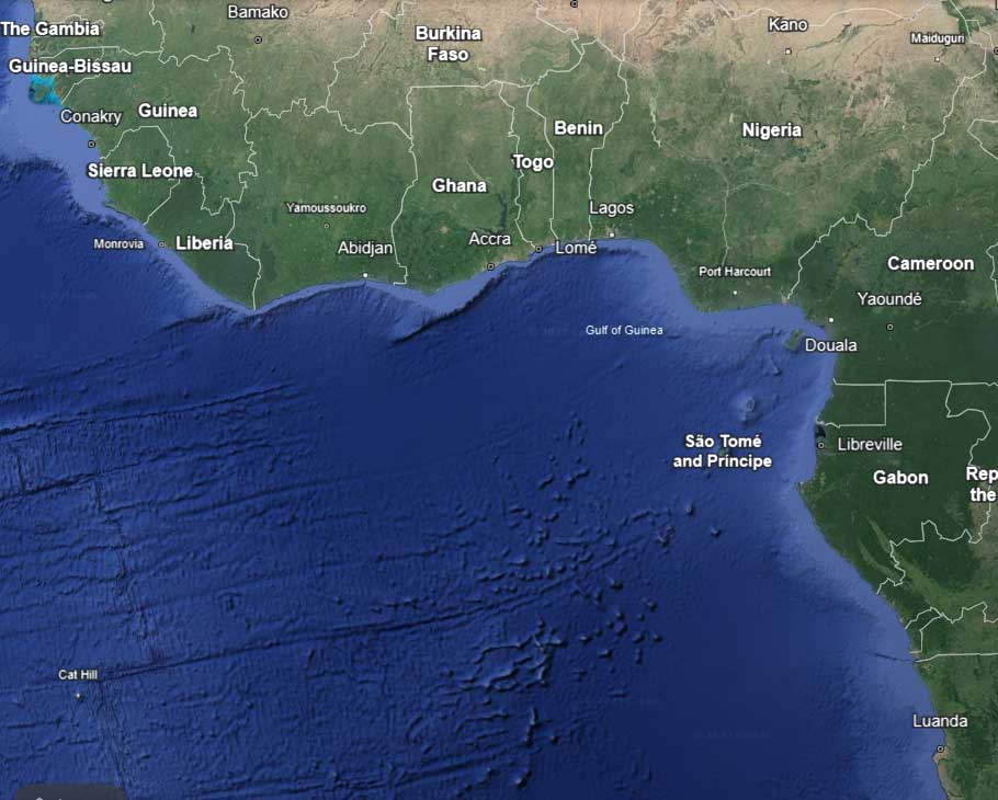
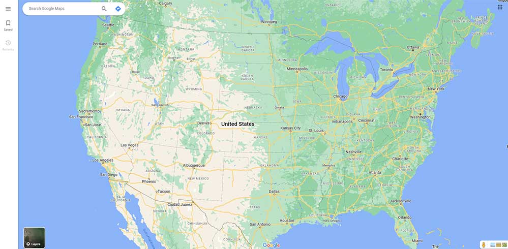
Just where is the blue expanse that covers 71% of our planet? Good question! It’s true that some of the Earth’s water is visible on Google Maps, but not all. So, why doesn’t Google Maps show the oceans? Let’s get to the bottom of this mystery once and for all.
What Is Google Maps?
Google Maps is a multi-functional tool offering satellite imagery, aerial photos, and street maps. It also provides real-time traffic data and various route planning options for walking, driving, and public transit. The innovative platform was born as a C++ program by Danish brothers Lars and Jens Rasmussen and officially became a part of Google’s suite in 2004.
Through strategic acquisitions, Google has gradually enhanced the platform’s features, including real-time traffic analysis. But for many users, there’s just one thing missing: the oceans! What’s the answer to this mystery? Let’s continue to find out.


The Challenges of Mapping Oceans: More Complicated Than You Might Think
When it comes to mapping the Earth’s surface, the notion of documenting oceans presents an entirely different set of challenges. Sure, Google has provided us with incredibly detailed imagery of bustling cities, remote deserts, and everything in between, but the oceans? That’s a whole different kettle of fish. As you’ll see, there are several reasons why oceans aren’t displayed.
Orthophotos
Orthophotos are the backbone of Google Maps and Google Earth, offering corrected, high-resolution aerial snapshots of the Earth’s surface. These are compiled from various sources, including satellites and specially-equipped planes. Yet, this seemingly seamless technology hits a stumbling block when it comes to capturing oceans.
Dynamic vs. Static
Unlike static landscapes that stay still long enough to have their pictures taken, water bodies are continually in motion. The ever-changing tides, currents, and wind patterns result in an environment that’s virtually impossible to pin down. This dynamic nature of water bodies makes the integration of individual images into a cohesive visual unit extremely challenging.

The Sun
Every photographer knows the difficulties posed by direct sunlight. Now, imagine trying to capture a massive, reflective surface like the ocean under constantly changing lighting conditions. The sun’s glare can vary dramatically from photo to photo, making it exceedingly tough to align and stitch images in a way that offers a consistent visual experience.
Water Clarity and Color Variations
Another factor to keep in mind is the variability in water color and clarity. From the emerald waters of the Caribbean to the murky depths of the North Atlantic, every ocean has its unique palette. Accurately capturing these subtle variations while maintaining a cohesive look and feel across vast distances is no easy feat.
The Altitude Factor
The altitude at which a photograph is taken significantly impacts the image’s quality and scope. For higher resolution, planes or satellites need to capture images from lower altitudes. This approach works well for smaller, more defined spaces like cities or national parks but throws a wrench into the works when dealing with expansive oceanic landscapes.
Geographical Scope vs. Image Quality
Lower altitudes might offer higher resolution, but they also reduce the area each photograph can cover. Over land, this is usually not a big deal, thanks to the relative compactness and defined boundaries of most features.
However, the immense scale of the ocean means that capturing it in great detail would require an astronomical number of images, further exacerbating the technological and financial challenges involved.
By diving into these challenges, it becomes abundantly clear that mapping the oceans isn’t just a simple extension of Google Maps’ current capabilities. It’s a complex task requiring innovative solutions to overcome significant technological and natural barriers.
But before we wrap up things, there are still some remaining theories worth discussing – theories that may answer once and for all why the oceans are missing from Google Maps.

Features a U.S.M.C. MOS 1400 Drafting Surveying and Mapping design

Easytouse design: pull mechanism facilitates simple operation, ideal for spaces and complex environments,marine measuring ruler,acrylic navigation ruler

Features a U.S.M.C. MOS 1401 Mapping Officer design
Financial Considerations: The High Seas Come with High Costs
We often take for granted the free access to high-resolution images of almost every nook and cranny of the Earth’s landmass on Google Maps. However, offering this service is not cheap. From hosting enormous data files to delivering them quickly and seamlessly to users worldwide, the financial implications are substantial.
And when it comes to adding oceanic data into the mix, the situation becomes even more complex. As stated, oceans cover about 71% of the Earth’s surface, far exceeding the land’s coverage. To provide the same quality and accessibility for oceanic regions, Google would have to significantly augment its existing infrastructure, essentially scaling it up by approximately 2.5 times.
The ROI Dilemma
You also have to consider the return on investment (ROI), or lack thereof. Think about it this way: Terrestrial maps offer ample opportunities for advertising and paid features (think local businesses, real estate, and tourism).
The ocean, however, doesn’t present the same monetization potential. Thus, the ROI would likely be minimal, making it a tough sell for any financial department.
Adding weight to that argument is the fact that there’s really no need for the average Google Maps user to see real-time oceanic action. Given the enormous toll that it would take on the app – and on your device – it just doesn’t make sense to include the ocean.

Used Book in Good Condition

Denim -- 56 inches wide // 11.7 oz per square yard
Size & Structure Single panel 24x36 inches with 1.35-inch depth, stretched canvas mounted in a sleek black floater frame, ready to hang
Discrepancies Between Google Earth and Google Maps
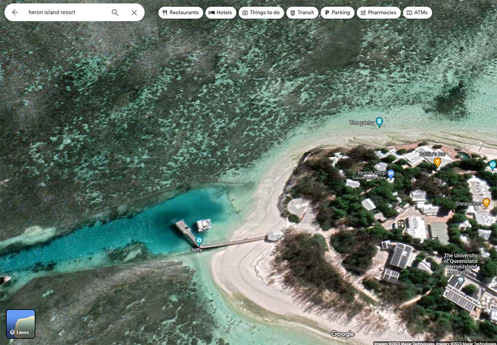
You may have noticed something peculiar – if you’re an avid user of both Google Maps and Google Earth, you’ll see that Google Earth often includes images of bodies of water. Google Maps, on the other hand, largely avoids such content. So, what gives?
It’s not a simple case of Google playing favorites. These two platforms, although similar in many aspects, operate on slightly different technologies and serve varying user needs. Google Earth aims to provide a more comprehensive view of our planet and often incorporates scientific and educational data, including images of water bodies.
Google Maps, on the other hand, largely serves to provide the user with directions from point A to point B. Moreover, it primarily uses non-3D imagery, particularly when accessed from mobile devices. This aligns more closely with the data utilized by Google Earth, which could explain why both platforms sometimes offer similar content – albeit presented differently.
Internet Conspiracy Theories
We’re not done just yet! As mentioned, it’s true that some of Earth’s oceans is visible. And in that limited amount, eagle-eyed users have spotted various anomalies over the years. Topping the list are what the Internet has collectively dubbed “black holes.” But as we’ll see, it’s nothing as worrisome as a true black hole.
The truth is that they are actually blacked-out islands. These are geographical locations that have been either completely omitted or significantly blurred in Google Maps. You can bet that these alterations didn’t escape the scrutiny of the internet community, igniting a host of conspiracy theories ranging from government censorship to alien landings.
Innocent Error or Censorship? The Debate Continues
Two camps have emerged over the years to explain this phenomenon. One group is convinced that Google Maps engages in selective censorship. They point out that certain sensitive locations – like military bases or research facilities – get the same “blur treatment” for national security reasons.
On the other side of the aisle, skeptics argue that these oddities are not intentional but rather the result of poor execution. In their defense, they point out that Google Maps uses a uniform color palette to represent large water bodies.
To reveal islands, this blue backdrop is selectively erased, letting the actual satellite image come into view. Critics claim that sometimes this process doesn’t go as planned, leading to weird anomalies like the so-called blacked-out islands.
To be fair, these black holes bear a striking resemblance to the blacking-out process used on military bases and other high-security sites. So it stands to reason that there’s something on these islands that Google – or likely the government – doesn’t want us seeing.
At the end of the day, it doesn’t really matter. At least, it doesn’t matter in our quest to find out why Google Maps doesn’t show the oceans. If anything, it proves that there are some sections of ocean that are visible. But for those of you who love a good mystery, it likely only adds fuel to the fire and raises more questions than answers.
Your Best Bet for Oceanic Views
If your interest lies in exploring aquatic landscapes, Google Earth is your go-to platform. This platform offers not just detailed topographical data but also showcases the deep blues that Google Maps often circumvents. This makes sense, considering the specific challenges – technological bottlenecks and financial concerns – we’ve outlined earlier.
But don’t count out Google Maps just yet. Many users aren’t aware that in 2014, Google introduced Underwater Street View, covering a whopping 2,300 kilometers of the Australian Great Barrier Reef in glorious 3D.
Special 360-degree cameras, capturing images every three seconds, make this deep dive possible. While it doesn’t remedy the lack of ocean views on Google Maps, this relatively obscure feature does reveal some of it. For everything else, there’s always Google Earth.
Final Thoughts
Google Maps is undeniably a marvel of modern technology, but when it comes to the world’s oceans, it’s essentially a no-go zone. Thankfully, Google Earth does a better job. So if you’re eager to traverse the watery parts of our planet digitally, you know where to head.

Print Dimensions: 12" x 18";Finished Dimensions: 12" x 18"
Meet Ry, “TechGuru,” a 36-year-old technology enthusiast with a deep passion for tech innovations. With extensive experience, he specializes in gaming hardware and software, and has expertise in gadgets, custom PCs, and audio.
Besides writing about tech and reviewing new products, he enjoys traveling, hiking, and photography. Committed to keeping up with the latest industry trends, he aims to guide readers in making informed tech decisions.